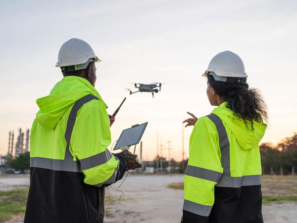
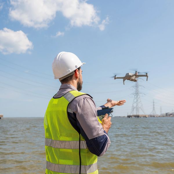
Progress photos and video.
Regular aerial updates for construction and demolition sites. Ideal for documentation, compliance, investor reporting, and client updates.
3D models & digital twins
High-resolution, geo-referenced 3D models of buildings, landscapes, or job sites—perfect for planning, inspections, and stakeholder presentations.
Aerial Mapping & Surveying
Orthomosaic maps, topographic data, and site measurements for land development, grading, and site planning.
FPV Video Tours
Immersive, dynamic videos that showcase your business like never before. Great for marketing, social media, and customer engagement.


